Services
The development and management of geomatics projects is IR's speciality. Our team of experts is experienced in manipulating, enhancing, and combining spatial and tabular data. Our cartography skills will ensure that your products are clearly and effectively presented. Using
ESRI® GIS software products, IR provides consultation services to seasoned veterans and clients new to GIS and geomatics. Our main services are:
GIS Database Management
Business requirements and database design techniques are used to build robust spatial datasets that will fit your needs. If you already have a GIS database, such as a roads database, we can provide maintenance and enhancement services. Quality control routines and other verification methods can improve your data's accuracy and usability.
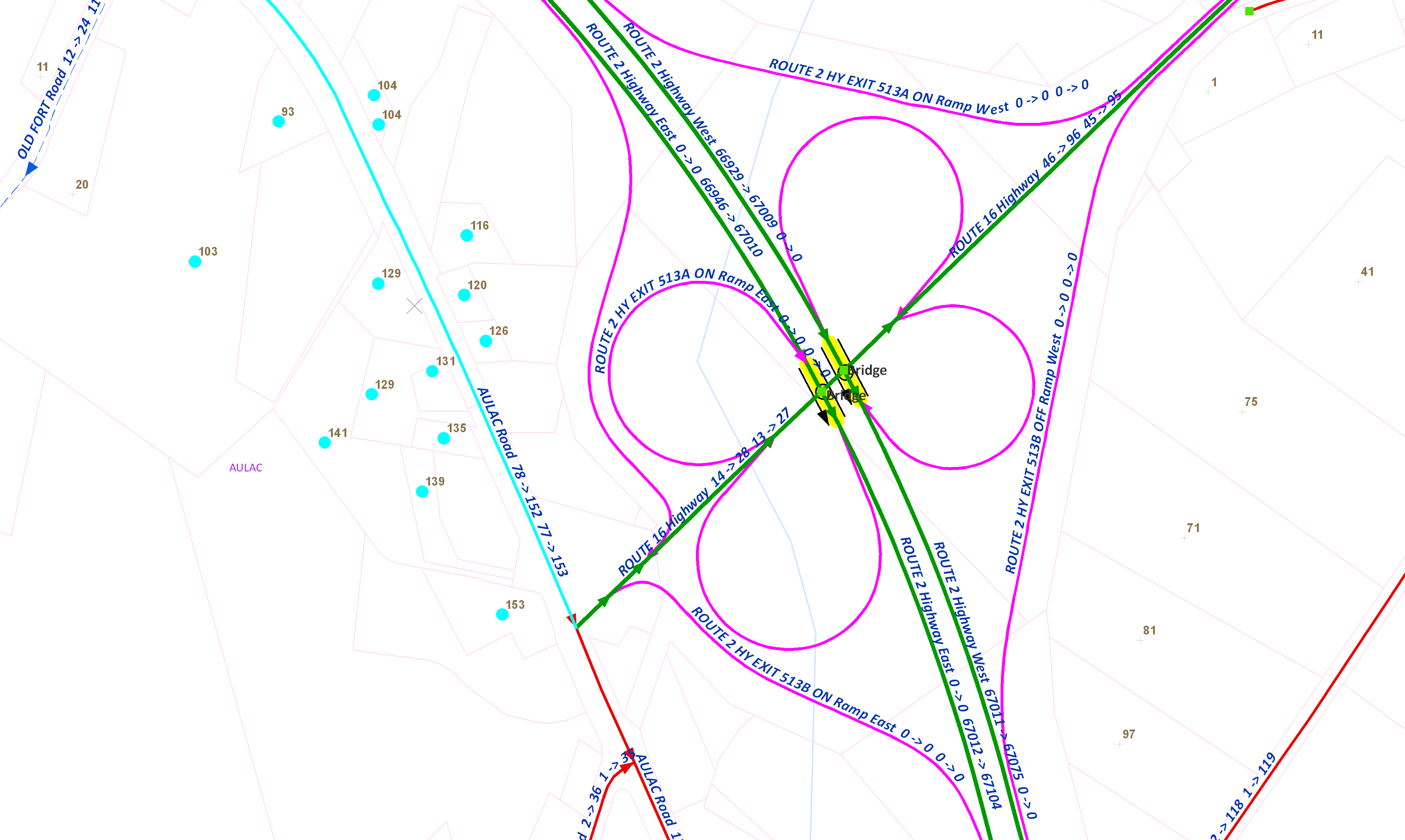
New insights into your business data will result in more informed decisions. Most business data has a location component, which GIS is uniquely suited to analyzing. Combining tabular data with a spatial dimension allows you to view your data from a new perspective, giving you more information than you had before resulting in faster decision making and better decisions.
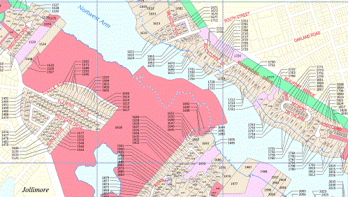
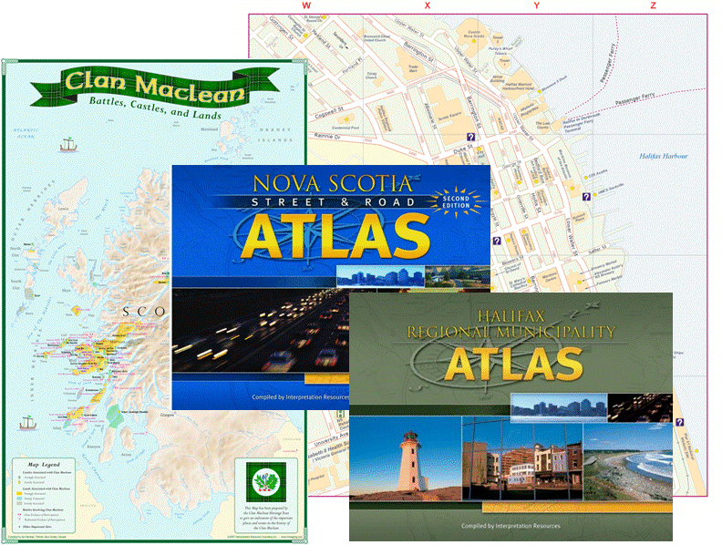
Cartographic skills are combined with the latest in GIS technology to tailor maps for our clients. A high level of quality control is brought to each project by paying attention to the details and using a methodical approach. See our
Map Portfolio for samples of our work.
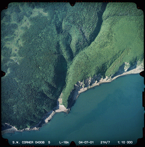
Aerial photographs have been regularly collected in the Maritimes since the 1930's. These photos provide accurately dated information about the landscape history. IR's detailed knowledge of the air photo archives allows us to search for evidence for a variety of purposes, such as property and land use disputes, and coastal erosion. Our photo interpreters have years of experience and are recognized as
Expert Witnesses in this specialized field.
Working closely with our clients, we build practical reports that include our observations, project analysis, options, financial and time estimates, recommendations, and plans. User manuals can also be developed for customized applications.
Metadata describing your GIS datasets and elements within can be developed and implemented according to your specifications.
Custom Built GIS Applications
Improve productivity and quality with custom built applications for
ESRI® GIS software.
- Coastal Erosion Analysis
- Training and Training Material Development
- IT Off-Site Data Storage Facility
- GPS Services
IR offers a comprehensive approach to all projects. Throughout the life cycle of all our projects, common sense project management principles are applied. We will work with you throughout all phases of your project including design, development, and implementation. Even after the conclusion of your project, IR will continue to stand by its products.


